Roughly 30 people from various groups considered to be active stakeholders in Bowen Island’s parks and trails gathered at the Municipal Hall on Tuesday in order to begin fleshing out the parameters of a new Parks and Trails Master Plan for the island.
The last master plan for Bowen’s parks and trails was created in 1994. The 21 page report provides an inventory of park land (land not privately owned) on Bowen Island, and suggests strategies for the acquisition of more land.
“A lot has changed since then,” says Jeremy Howe, the chair of the Bowen Island Parks, Trails and Greenways Committee. “We’ve seen Cowan Point develop, and Cape Roger Curtis. And since the mid-1990s I would say there is a much greater awareness and interest in our island’s trails. This is something like creating an Official Community Plan - it will lay out our expectations when it comes to parks and trails.”
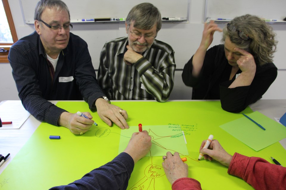
As a beginning point to updating this plan, Municipal Planner Cari St. Pierre asked for feedback on Parks Master Plans from six other communities to review, and also asked participants to draw “maps” on four themes with veins symbolizing their concerns and priorities for Bowen’s parks.
During the second part of the exercise, the four groups of participants took turns drawing maps on future priorities for Bowen parks (looking ahead 50 years), what’s happening now in Bowen’s parks and trails, what has happened since 1994, and connecting parks and trails to beaches and waterways.
On this final subject, a seemingly endless flow of ideas poured onto the map. Concerns about accesibility led to an idea to implement a system ofbeach classification; a desire to prioritize viewscapes connected to concerns about ecological integrity; the protection of watersheds connected to storm water maagement, and so on.
When each group had a chance to work on each map, all four were placed together on a wall. St. Pierre says that given an appropriate online tool, the mass of information will be redrawn in a single, coherent map that will connect the issues.


