Environment Canada has issued a special weather statement as cold air is headed to Metro Vancouver.
While temperatures have been mild throughout the region so far this winter, the city will get a significant cold period later this week with snow and sub-zero temperatures.
"It's not extreme but certainly out of the ordinary," says Environment Canada meteorologist Dave Wray.
He says there's still some uncertainty about when it'll arrive, but temperatures are expected to drop to -8 C in the City of Vancouver with areas further inland and the Fraser Valley dropping even further down the thermometer, as low as -12 C. Currently, that weather is expected to start arriving Wednesday night (Jan. 10) and stay cold for at least a few days.
Weatherhood is showing some Vancouver neighbourhoods could see lows of -15 C.
Right now Friday night (Jan 12) is expected to drop to -8 C and Saturday daytime highs may stay below 0 C.
On top of that wind chill could make it feel a few degrees cooler.
"Even a 15, 20, 25 km wind with the drop in temperatures we're going to see, wind chill values drop as well," Wray says. "Overnight may only be -7 or -8 for YVR, but with the wind, it could feel like the mid-teens."
In the Fraser Valley it could feel as cold as -18 C at night.
"In that situation, if you're out and about you'll definitely want to be bundled up and protect yourselves from the elements as best you can."
He explains the system is coming from the Yukon and Northwest territories before travelling through northern Alberta and B.C.'s interior before arriving in the Lower Mainland.
Along with the cold temperatures, some snow is expected with up to 5 cm later this week.
"Usually when the arctic front arrives...there usually does come with it some snowfall," says Wray. "At this point in time it's tough to pinpoint an exact amount."
Wray advises keeping up to date with the forecast as the cold air approaches, in case there are shifts in when and how cold it could get.
"Some (computer) models have the cold air moving out by Sunday or Monday, and there are a couple that show it could stay longer."
That said, from the current trend the models are showing, Wray doesn't expect it to get much colder than the current forecast.
"But things can change."
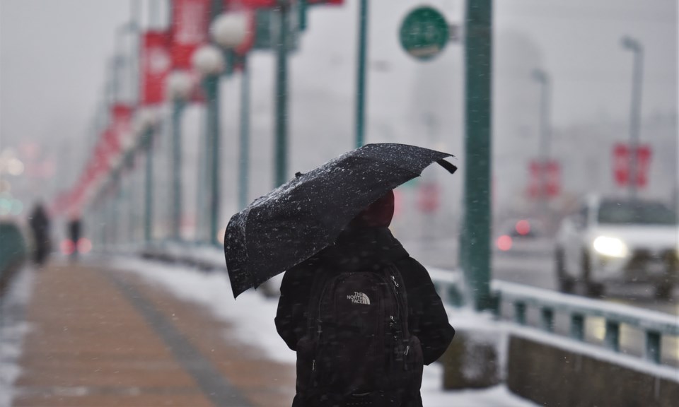
But first, wet snow
Before the Arctic air arrives snow could still fall in Metro Vancouver, though it'll be mixed with rain.
We have a fairly significant frontal system moving in (Sunday evening)," Wray explains. "Overnight temperatures dip down to the 0 or -1 mark."
It's expected there will be a mix of rain and snow falling on Monday, though no snow should accumulate, except at higher elevations like the North Shore Mountains where up to 8 cm could build through Monday and into Tuesday.


