LYTTON — BC Wildfire Service data show a blaze south of Lytton that has triggered multiple evacuation alerts is three times its original estimated size and continues to burn out of control.
The service's latest update on the Cantilever Bar wildfire says it is now measured at 4.6 square kilometres, up from the 1.5 square kilometres reported earlier this week.
The update says the larger estimate is due to more-accurate perimeter mapping after smoke cleared enough to allow aircraft to fly overhead.
Evacuation alerts over the fire have been imposed by Thompson-Nicola Regional District and three local First Nations communities.
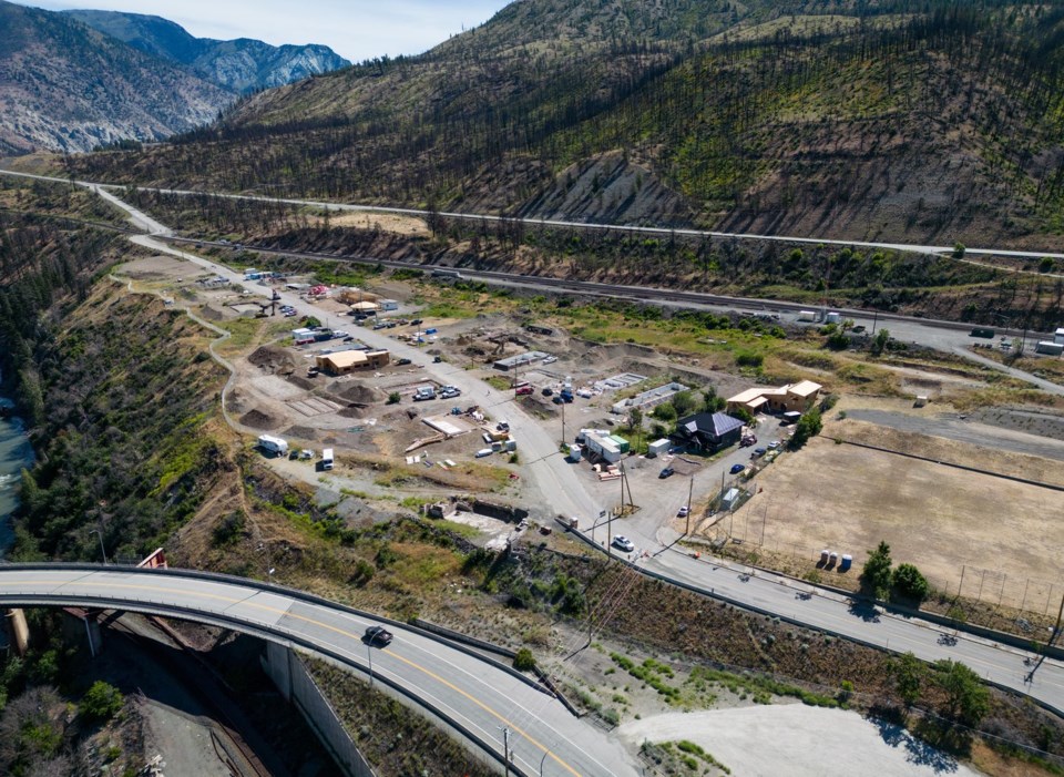
The wildfire service says the blaze is about 10 kilometres south of Lytton — a community devastated by fire in 2021 — and on the west side of the Fraser River.
It says the fire is highly visible from Highway 1 and motorists should drive with extra caution.
The service says 45 firefighters are on site, and "conditions are very dry and fuels are highly susceptible to ignition."
There are about 60 active wildfires burning across the province.
This report by The Canadian Press was first published July 30, 2025.
The Canadian Press


