Predicting wildfires is a hot topic in the wake of this summer’s destructive season and UBC Okanagan researchers are at the forefront of new discoveries.
For example, John Braun, a professor of mathematics and statistics with the Irving K. Barber Faculty of Science, suggests that today’s wildfire modelling technology could have helped reduce the impact of Canada’s most costly natural disaster, the 2016 Fort McMurray wildfire.
He found that officials used a deterministic model to estimate that flames could reach Fort McMurray city limits by 11 p.m. on May 3, 2016, shifting resources too late to prevent the fire from forcing 88,000 people to flee for their lives and destroying 2,400 homes.
“Initial calculations showed a five per cent probability that the fire could reach the city limits by 6 or 7 p.m. — which is actually about when it did,” Braun says. “If they had known this, they might have made a different decision. These models serve as essential decision support tools, improving both infrastructure safety and firefighting efforts.”
His research focuses on fire spread models and stochastic model that consider uncertainty, as opposed to deterministic models that only offer one likely conclusion. He argues that satellite data, drones and heightened consideration of topography can significantly improve fire models and help determine fire spread rates.
“Today’s technology allows us to gather much more high-quality data than even a decade ago,” says Braun.
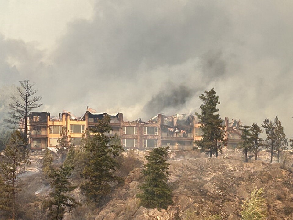
The Insurance Bureau of Canada pegs insured losses from the Fort McMurray wildfire at $4.3 billion. In comparison, this summer’s fires in the Okanagan and Shuswap ranked as the tenth most costly disaster, with an estimated $720 million in estimated insured losses.
Braun and Kevin Hanna are part of the newly created U.S.-Canada Centre on Climate-Resilient Western Interconnected Grid. It involves 11 North American universities and institutes that aim to address the growing challenges of wildfires, heatwaves, drought and flooding. The aim is to improve data access that will help mitigate or prevent damage to vital North American infrastructure.
Hanna, an associate professor in Earth Sciences and director of UBC’s Centre for Environmental Assessment Research, is studying the specific information that regulators need for approving power projects in Canada, to ensure they can withstand the impacts of sudden events like wildfires.
“This project provides a unique platform to unify various research disciplines for addressing energy resiliency and security in the face of evolving climate challenges,” says Hanna.
The western interconnected grid stretches from the northern edge of British Columbia to the Mexico border, and from the California coast to the Rockies. It serves roughly 80 million people over 4.66 million square kilometres.


