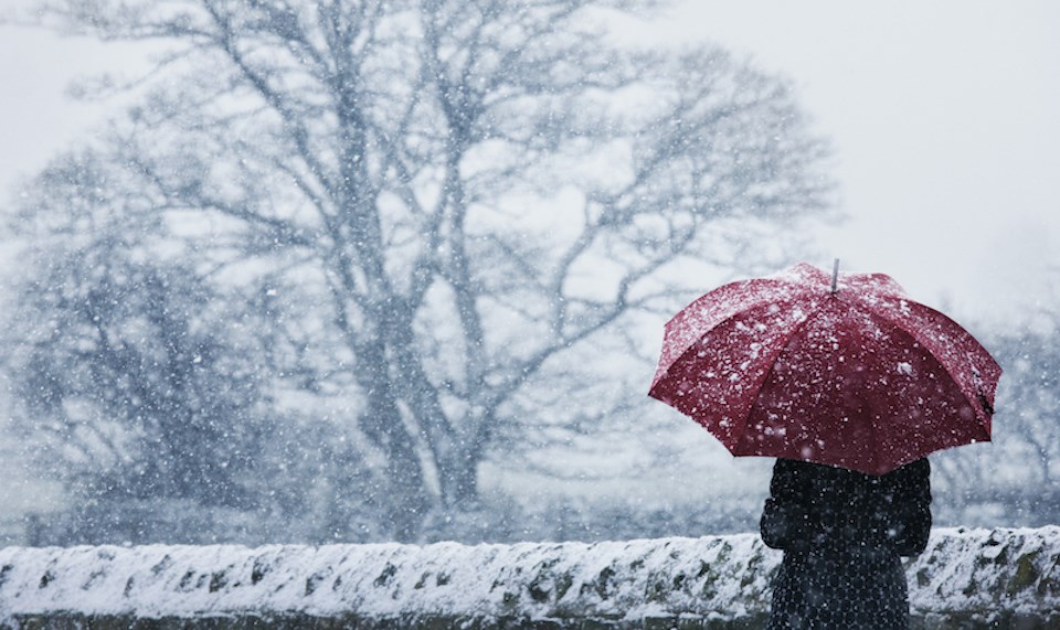
Environment Canada has included some interesting probabilities in its upcoming Metro Vancouver weather forecast...most notably, snow.
The national weather department expects temperature and precipitation patterns to change this week, with flurries or even light snowfall possible at places with higher elevations overnight on Thursday, Nov. 30.
While Vancouver proper isn't likely to see any of the white stuff, places across the Lower Mainland with higher elevations, such as the North Shore and Simon Fraser University (SFU) in Burnaby, could see some flurries.
Environment Canada Meteorologist Armel Castellan told V.I.A. that temperatures will drop close to freezing and places at higher elevations will likely see mixed precipitation, like wet snow, when the rainfall is heaviest. On the Sea-to-Sky, a centimetre or two of snowfall may even accumulate.
Places at lower elevations likely won't see any flurries but the rainfall marks the beginning of a long stretch of wet weather.
Rainy pattern to soak parched Metro Vancouver soil
After nearly two weeks of bone-dry weather, Vancouver will return to its "regular" storm cycle, which includes more modest to moderate amounts of rain and wind. However, the province desperately needs some precipitation.
Aside from Prince Rupert, most parts of B.C. received anywhere between 40 to 50 per cent of the normal precipitation amount for November. And that isn't good news for the snowbanks.
After Thursday's frosty event, the ridge of high pressure that has kept conditions dry locally will dissipate, ushering in several small storms. Temperatures will warm up several degrees, particularly overnight, and there may be some strong winds.
Sunday may see some particularly strong winds, with gusts blowing 80 to 100 km/hr in some areas.
On Monday or Tuesday, an atmospheric river will bring substantial rain to Metro Vancouver. While these rain events can wreak devastation, such as the floods of November 2021, most of them aren't destructive.
"We get about 20 to 30 of them annually," explains Castellan, who notes that they largely benefit local ecosystems. He adds that this one will bring temperatures up a bit and it won't be as "juicy" as the 2021 event. Also, it will last for roughly 24 to 30 hours - about half as long as November 2021's devastating atmospheric river event.
While the weather forecast for the next couple of weeks is uncertain, El Niño should likely start to impact the region in late December. Environment Canada qualifies this year's expected El Niño event as "strong," meaning it could have a significant impact on the region. Currently, Environment Canada is calling for temperatures to be about 1.2 C above seasonal averages. The mild winter should dominate January and February and may continue to produce milder conditions from March through May.
Metro Vancouver weather forecast
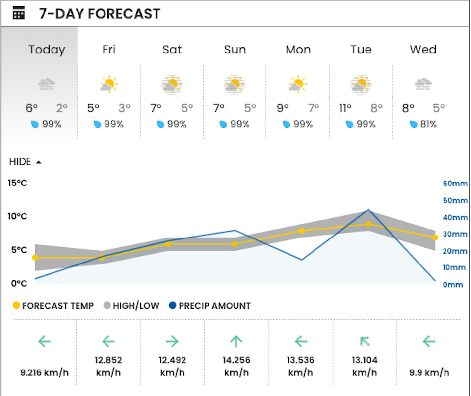
V.I.A.'s Downtown Centre Weatherhood station shows a consistent theme for the week: wetness.
But amounts and types of precipitation will vary somewhat through the week. Precipitation amounts will slowly climb into the weekend, with Friday seeing amounts under 20 mm and Sunday receiving around 30 mm throughout the day.
With the arrival of an atmospheric river, Monday night or Tuesday will see the most significant rainfall amounts.
Keep up-to-date with the changes in your Metro Vancouver neighbourhood's weather through Weatherhood.


