Metro Vancouverites face a dramatic shift from record-breaking cold to temperatures possibly two times higher than seasonal averages.
A blast of arctic air made temperatures feel as cold as -20 C ahead of a couple of significant snow events in the city. The latter one saw close to 30 cm of snowfall across the region.
While temperatures have gradually increased over the weekend, locals will see them leap into the double digits by the end of the week.
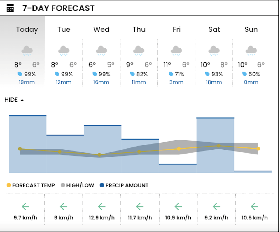
V.I.A.'s Downtown Vancouver Weatherhood station shows a high of 8 C and a low of 6 C for Tuesday, Jan. 23, with about 12 mm of rain expected to fall. Wednesday's forecast includes slightly cooler temperatures and more rainfall, with up to 16 mm expected.
Thursday's forecast includes a high of 9 C and a low of 6 C and 11 mm of rain is expected.
We may see a jump in temperature on Friday, with a daytime high of 11 C and a modest 3 mm of rain. These temperatures are about double the seasonal average, which is a high 6.3, according to Environment Canada.
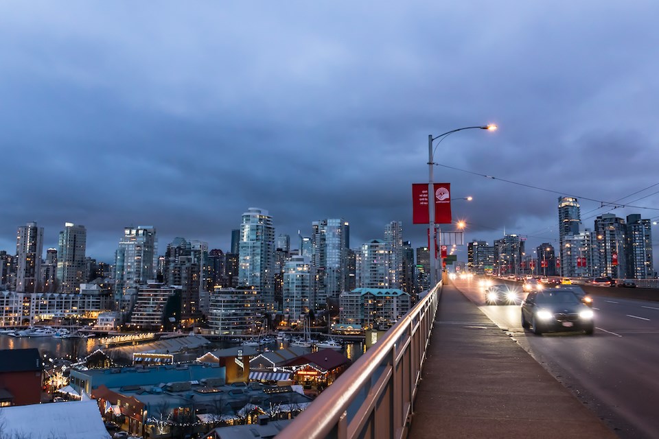
Metro Vancouver weather forecast
Above-average temperatures are expected to persist through the weekend, with Saturday and Sunday expected to see double-digit highs in the downtown area.
While temperatures vary slightly across the region, the warming trend will be experienced across the board.
Environment Canada meteorologist Alyssa Charbonneau told V.I.A. in a previous interview that the warmer, wetter pattern will persist for a significant period under the influence of El Niño.