
I imagine most of us are happy to hear that snow is in the forecast for the weekend. We’ve been in a fairly dry weather pattern for some weeks now, with periodic storms to freshen up the riding conditions. Unfortunately, the dry conditions have promoted the growth of weak layers in the snowpack, which may result in an upward trend for the avalanche hazard going forward.
The most notable weakness is buried around 50 to 100 centimetres below the snow surface and has resulted in some large and scary avalanches over the past week and a half. The trend we’ve noticed is the avalanches are generally occurring on shaded slopes (west, north, and east aspects) around treeline and alpine elevations. The weak layer is capable of propagating a great distance; some reported avalanches were remotely triggered from several hundred metres away and some avalanches were hundreds of metres wide.
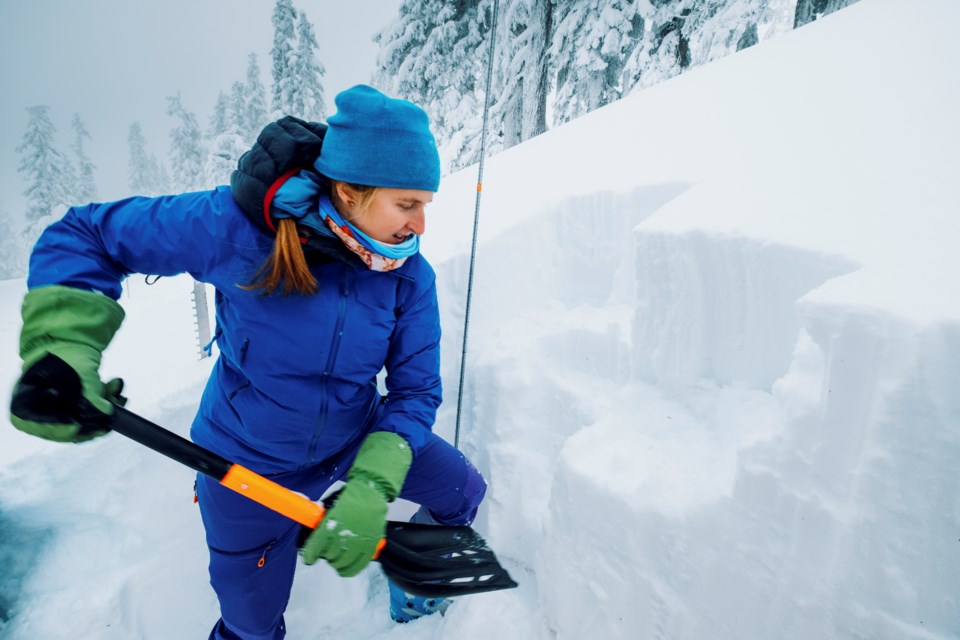
The weekend’s snow will be great to freshen up the surface, but it may increase the likelihood of triggering this buried weakness. The new snow may also not bond well to the previous snow surfaces, increasing the likelihood of shallower avalanches. Dialing back your terrain choices will be key for a safe weekend. Consistently assess the snowpack and look for clues of instability, such as whumpfing, shooting cracks, and recent avalanche activity. Be sure to track the danger and travel advice at avalanche.ca to get the most up-to-date information.


