The cold snap has not broken, and TransLink is getting Thursday's commute going with a strong warning about service delays and disruptions.
"With the arctic outflow persisting throughout Metro Vancouver, customers should prepare for longer wait times and reduced service on SkyTrain today," said TransLink early Thursday (Dec. 22).
"Unnecessary travel should be avoided," added the transit agency.
As of 7:15 a.m. there are already nearly 200 service alerts for bus routes across the region, predominantly for cancelled route trips early Thursday morning.
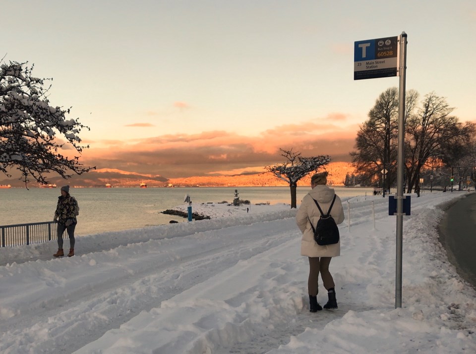
Accessibility continues to be an issue at some bus stops.
Once again, the primary alert for SkyTrain involves the Expo Line: "To make SkyTrain service more efficient during inclement weather, the Expo Line is temporarily terminating at Lougheed Station. Customers looking to get to or from Production Way-University Station should use the Millennium Line."
TransLink explains they are making this service adjustment so that its SkyTrain attendants can "monitor the guideways at the front of trains to keep service moving during inclement weather."
Commuters will continue to see staff at the front of SkyTrains Thursday.
All non-essential HandyDart service remains cancelled Thursday due to inclement weather.
Those needing to use public transit in Metro Vancouver Thursday are advised to build in extra travel time, and check their route by consulting the TransLink Trip Planner, signing up for transit alerts, or by following @TransLink. on Twitter.
A 'significant winter storm' arriving Thursday night
While the weather has been steadily cold, the region is about to get walloped by another winter storm, which will arrive overnight and into Friday.
Another round of snow is expected to start Thursday night, changing to rain Friday night or Saturday morning over the mainland. Snow might accumulate to 10 to 20 cm and freezing rain is possible as temperatures begin to warm up.
Strong easterly winds mean blowing snow is also possible, which might result in near-zero visibility.
The alert by Environment Canada states that winter storm watches are issued when "multiple types of severe winter weather are expected to occur together."
With files from Vikki Hui/Richmond News


