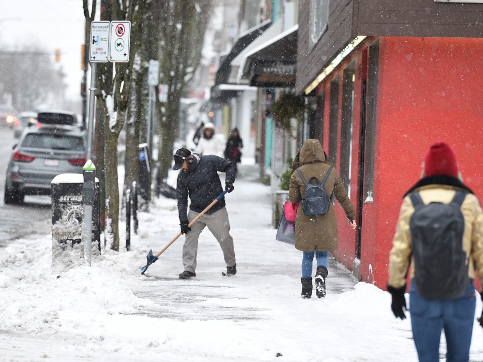
Environment Canada is forecasting a series of disturbances set to bring more snow to the south coast this week.
In a special weather statement issued at 1:53 p.m. on Jan. 13, the department notes that outflow winds through mainland coastal inlets and valleys will continue to drive cold arctic air into the Georgia Basin through much of the week.
Over the next few days, the forecast highlights several major weather systems that will impact Metro Vancouver.
Special weather statement in effect for:
- Metro Vancouver - central including the City of Vancouver Burnaby and New Westminster
- Metro Vancouver - North Shore including West Vancouver and North Vancouver
- Metro Vancouver - northeast including Coquitlam and Maple Ridge
- Metro Vancouver - southeast including Surrey and Langley
- Metro Vancouver - southwest including Richmond and Delta
Starting overnight Monday, the forecast calls for northwesterly winds to develop over the Strait of Georgia, and where these winds converge with strong outflows from mainland coastal inlets, locally heavier areas of snow are likely to develop.
On Tuesday, a second system is expected to reach the south coast and have a more widespread effect than the first system. Snowfall is expected for much of the night, and mainland arctic outflow winds reaching the eastern coast of Vancouver Island will create the potential for increased snowfall locally.
The forecast calls for a third system to impact the south coast on Thursday night, but with the mainland is expected to receive less snowfall than Vancouver Island.
Click here for original article.