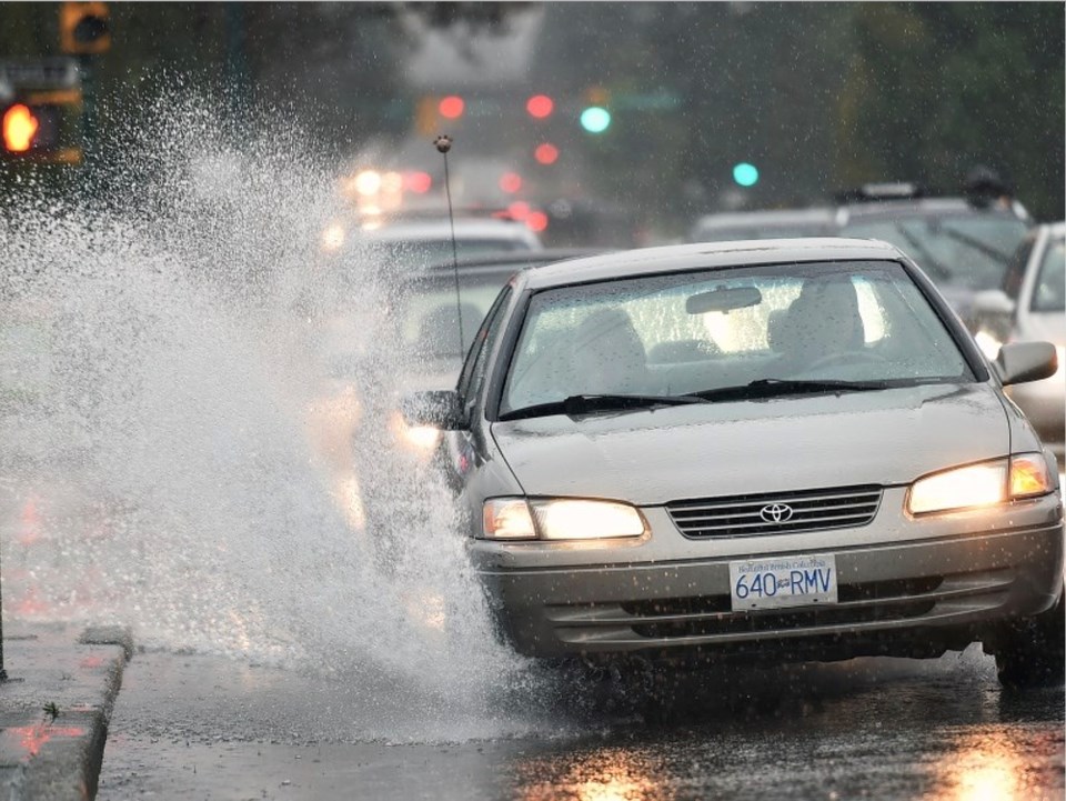
Heavy rain and powerful winds are expected to buffet much of British Columbia’s coastal regions over the coming days as a “robust Pacific weather system” moves onshore, said Environment Canada in multiple alerts Tuesday morning.
The national weather agency issued rainfall warnings for B.C.’s Howe Sound, the inland north coast surrounding Kitimat, the Sunshine Coast, as well as Vancouver Island’s inland region, west coast and east coast.
The “heavy downpours” could lead to flash floods, water pooling on roads, and localized flooding in low-lying areas, said Environment Canada in its warnings.
“This is heavy rainfall amounts,” said Alyssa Charbonneau, a meteorologist with Environment and Climate Change Canada.
“This is quite a bit more rain than we’ve seen so far this month.”
By Tuesday morning, the stretch of coast from Nanaimo to Victoria had so far escaped a rainfall warning; however, North Vancouver Island, the Central Coast and Haida Gwaii sat under wind warnings with strong southwesterly gusts expected to reach 110 kilometres per hour.
The low-pressure system driving the warnings is expected to move onshore late Tuesday, stalling over the region and bringing rainfall that could account for more than half of the monthly total for October.
Between 40 and 60 millimetres of rainfall are expected to fall on the Sunshine Coast through Wednesday, with totals reaching up to 70 millimetres in Howe Sound. On the west coast of Vancouver Island, between 180 and 200 millimetres of rain is forecast to fall, with winds gusting to 70 km/h.
B.C.’s River Forecast Centre issued high streamflow advisories across every region of Vancouver Island, the Sunshine Coast, as well as the Upper Columbia, and North and South Thompson river basins.
Such advisories indicate “river levels are rising or expected to rise rapidly.” And while no major flooding is expected, minor flooding in low-lying areas is possible, according to the B.C. government agency.
Charbonneau said the powerful low-pressure system has drawn subtropical moisture from the remnants of Typhoon Bolaven. First making its way into the Gulf of Alaska, the system will deliver the strongest winds to Haida Gwaii, North Vancouver Island and the Alaska Panhandle into Tuesday night.
The frontal band of rain is expected to persist into Wednesday, delivering rainfall into the afternoon.
“If you’re in these areas, take the time to clear the leaves out of eaves. If you’re driving, buy yourself more time,” said Charbonneau.
Outside of the warning areas, places like Vancouver, Richmond and Nainamo can expect to be in for a wet couple of days as well, though the meteorologist says Victoria as well as the south and eastern reaches of Metro Vancouver are not expected to be as wet.
While delivering a large amount of rain quickly, amid ongoing drought, Charbonneau said most of the province needs the moisture.
“We really need the rain. It has been so dry,” she said. “This system will bring quite a bit in one shot.”

