The Metro Vancouver weather forecast includes stormy weather ahead of a sunny weekend.
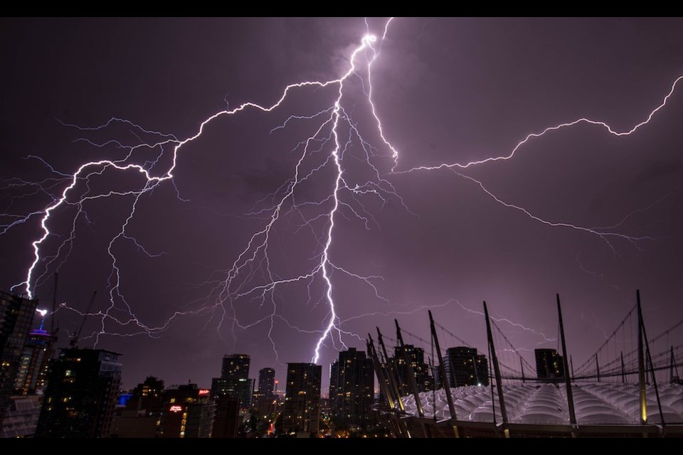
Environment Canada meteorologist Armel Castellan told V.I.A. in a previous interview that a "pretty active" spring weather pattern with a "convective element" could bring heavy rain and the risk of thunderstorms.
V.I.A.'s Trout Lake Weatherhood station in East Vancouver shows that as much as 20 mm could fall in the city on Wednesday, March 27; temperatures are expected to reach a high of 8 C and drop to a low of 5 C (see slide two).
There is also a risk of thunderstorms late Wednesday afternoon and some light winds gusting up to 30 km/h overnight.
Other neighbourhoods across the Lower Mainland, such as Pitt Meadows and Ladner in Delta, are expected to receive considerable precipitation, with amounts of 18 mm and 21 mm, respectively.
Metro Vancouver weather forecast
The wet weather is expected to ease by Thursday, with most parts of the region receiving under 10 mm of precipitation. Temperatures are also expected to climb a couple of degrees, reaching double-digit highs in many areas.
Friday's forecast includes a significant shift from cooler, wetter weather to warmer temperatures and sunshine. A mix of sun and cloud with a 30 per cent chance of showers is expected.
Sunshine and temperatures climbing into the mid-teens are expected on Saturday, while Sunday is expected to be a degree or so warmer.
While daytime highs could reach a few degrees above the seasonal average, overnight lows should sit below seasonal (3.7 C) on Friday and Saturday of the Easter long weekend.
Some showers are possible again heading out of the weekend, with a chance of showers on Monday and Tuesday.
Stay up-to-date with hyperlocal forecasts across 50 neighbourhoods in the Lower Mainland with V.I.A.'s Weatherhood.

