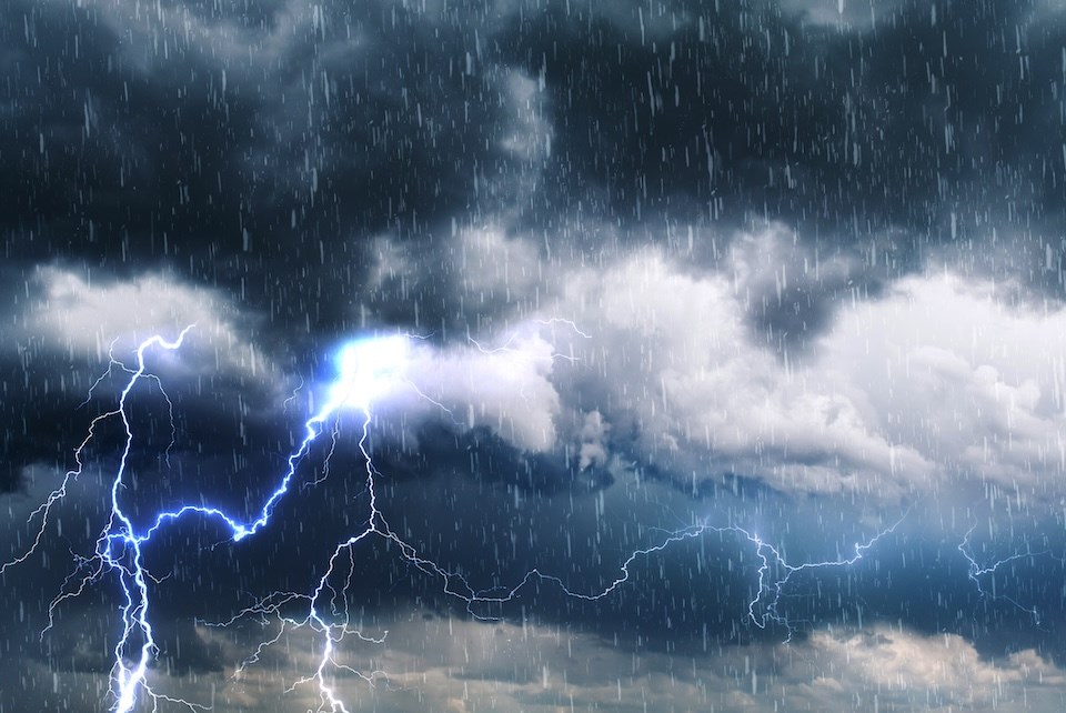
Thunderstorms are expected to bring showers to the Lower Mainland before significant rain overnight Friday, June 20.
Environment Canada Meteorologist Terri Lang said a storm covering a "fair bit of Western Canada" will impact the Lower Mainland through Saturday.
The risk of thunderstorms is possible through Friday during the daylight hours, bringing showers intermittently throughout the day.
"Then we are expecting some heavier and steadier rain to move in this evening and last overnight," she explained.
"The rain will vary quite a bit with the thunderstorms. We are expecting quite a bit, around 20 (millimetres), or a pretty good soaking."
Rainfall levels won't warrant a warning (50 mm or higher), although they will bring much-needed precipitation to the region, Lang noted.
Travellers headed out on B.C. highways are also warned of treacherous road conditions caused by wet snow.
Metro Vancouver weather forecast includes shift back to sun, possible above-average heat
Gusty winds are expected on Saturday with cooler temperatures around 17 C, which is three degrees below the seasonal average (20 C).
"We aren't expecting much precipitation after Saturday," Lang said, noting rainfall will taper to showers overnight.
Sunday's forecast includes a mix of sun and cloud and temperatures slightly above seasonal. This trend is expected to continue heading into the work week.
"We will see highs in the low 20s with a westerly flow," she said. "There won't be any big shifts, but there is some indication at the end of seven to 10 days heat may start building."
A ridge of high pressure could produce hotter, drier conditions in the longer-term forecast, but it is still too early to tell how conditions will develop.
Stay up-to-date with hyperlocal weather forecasts across 50 neighbourhoods in the Lower Mainland with Weatherhood.


